
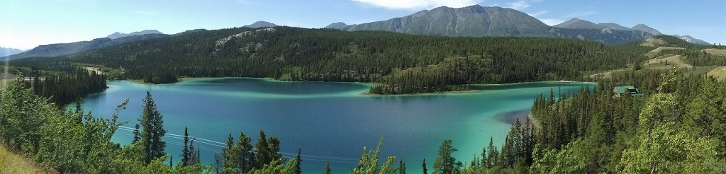
 1) Emerald Lake south of Whitehorse (double-click to view in full-scale)
A year ago, I made the decision to travel north – real far north – this summer. All the way up the Dempster Highway in fact to Inuvik in the NorthWest Territories, and from there by plane to the shores of the Arctic Ocean in the wee Inuvialuit hamlet of Tuktoyaktuk. Whitehorse, the capital of Canada’s Yukon Territory (and self-styled ‘capital of the north’) was our first stop.
Why a trip of some 1300kms by road and then a further 100-odd kms by chartered plane?…. well, because I’m Canadian. Fully one-third of Canada lies north of the 60th parallel and it is my belief that all Canadians should visit each of Canada’s oceans – the Atlantic, the Pacific, and of course, the Arctic. My papa upon hearing of the idea was keen to join G and I and so we were blessed to have him along for the ride as well. Reactions of friends to this trip was similar to responses we received when we announced we were visiting Mexico City: there is a polite smile that barely belies the confusion as to why anyone would wish to visit such a place. But like Mexico City, I would urge anyone who ever is presented the opportunity to go north, to embrace it. There is an uncharted, stunningly beautiful world up there with genuinely warm and friendly people happy that you’ve traveled such a distance to visit with them. Up north you will experience a desolate vastness that will, quite literally, take your breath away. A desolate vastness that gives true meaning to the word emptiness and provides you with a new perspective on your place in this world. You will never feel so small yet so blessed. Go!
Our trip began with an Air Canada flight north from Vancouver some two and a half hours to Whitehorse. Whitehorse is often seen as the Vancouver of the North as its weather is somewhat tempered by its location. It has a dry, subarctic climate moderated by the fact the city sits in the Whitehorse Valley. During our visit, the weather was sunny and pleasant, ranging 20-25C – shorts weather indeed. Whitehorse is named after a series of white water rapids near the city whose appearance is similar to a horse’s mane. It is by far the largest community in the Yukon with a population of about 28,000 people, dwarfing Dawson City – the next largest – with its piddley population of 1,900 goldrush-minded souls.
In Whitehorse on the way down to Inuvik (and by ‘down’ I actually mean sort of ‘up’, as in going in a northerly direction, as locales discuss direction in relation to how rivers flow – in Whitehorse’s case, the Yukon River flows down to the Arctic Ocean) we stayed at the functional Westmark Inn, which is actually owned by Holland American Lines; go figure.
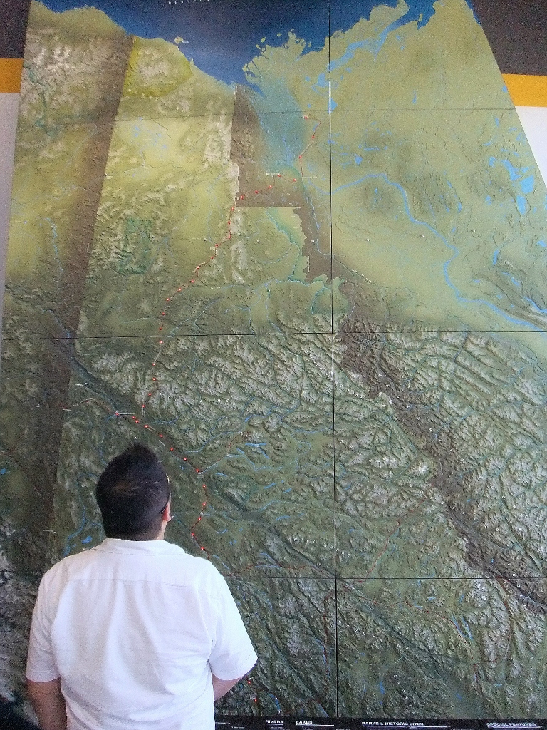 2) G takes a look at that long line of red lights which represent the road we’re driving north Inuvik
I thoroughly enjoyed Whitehorse. The city’s downtown core is pedestrian-friendly; there are a handful of good restaurants (including a tolerable sushi place – Sakura Sushi); plenty of historic sites and museums to visit; tourist kitsch (as found in places like Skagway and Juneau) is kep to a minimum; and, there’s a very well-developed waterfront boardwalk and pathway system (which we took the liberty of running along on a couple of [chilly] mornings). If you stop by the Yukon Territorial Government office, you can also ask the receptionist to give you a tour of the Legislative Assembly chamber, which was also neat.
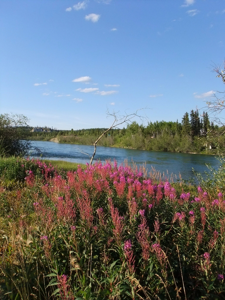 3) along the shore of the Yukon River
 4) Papa and G enjoy the view along the Yukon River in Whitehorse
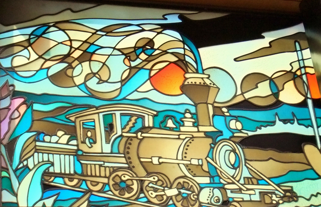 5) some of the beautiful stained glass in the Government Building in Whitehorse
 6) one of the Yukon’s own bards
A visit to the Yukon will inevitably result in a visit to a sternwheeler as well. Each community we visited had a sternwheeler as an historical site, and rightly so. From the late 1860s onwards, sternwheelers plied the rivers of the Yukon and Alaska. Trading posts in the Yukon were supplied by these ships that worked from St Michael on the far west coast of Alaska, through to Fairbanks, Dawson City, Stewart, Mayo and Whitehorse. When the famous White Pass & Yukon Route (WP&YR) railway between Skagway and Whitehorse was completed, the WP&YR established a river division called the British Yukon Navigation Company (BYN) which controlled shipping on the rivers. At its zenith immediately after WWI BYN had some 88 sternwheelers in operation on the rivers. The last sternwheeler, the SS Klondike – now a national historical site in Whitehorse – ceased active trips in 1955. You can still take the White Pass & Yukon Route railway to this day up and over the Chilkoot Trail from Skagway to Carcross, the trail that those stampeders took way back in 1898 (on foot!).
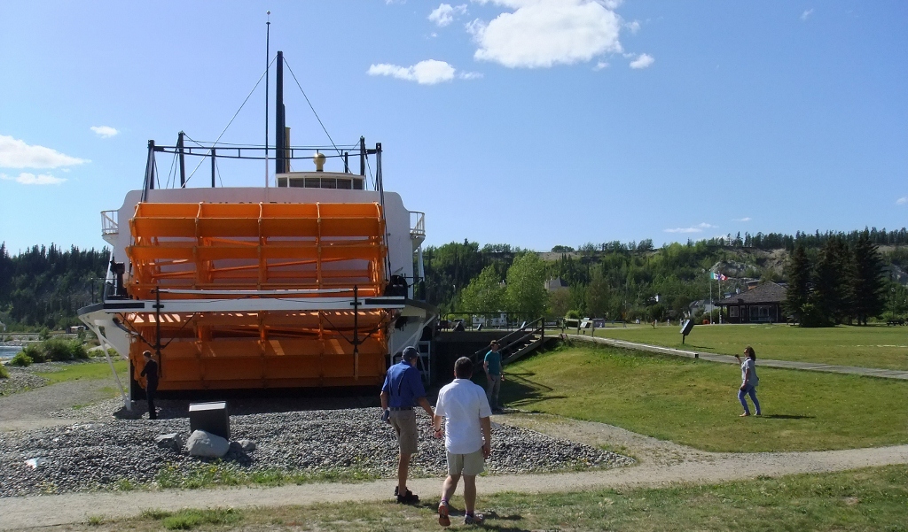 7) Papa and G head to the SS Klondike
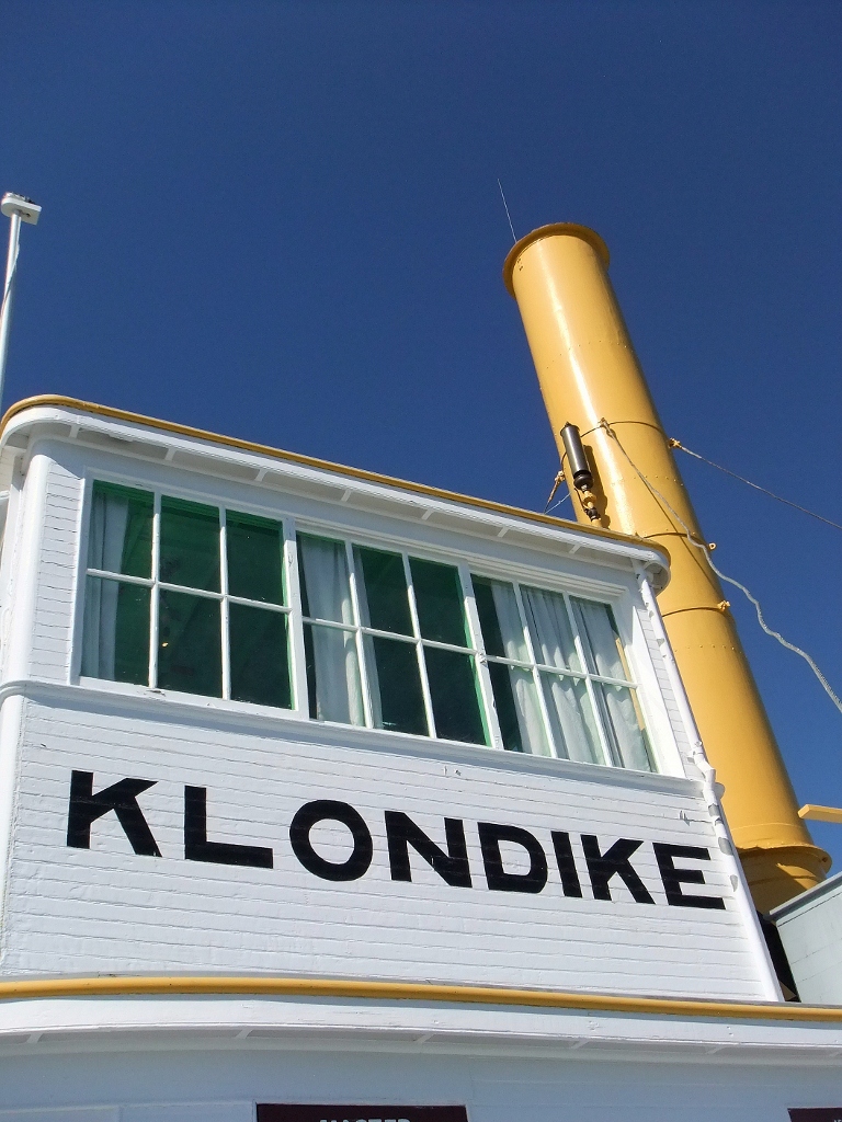 8) the captain lived up there
 9) the bow
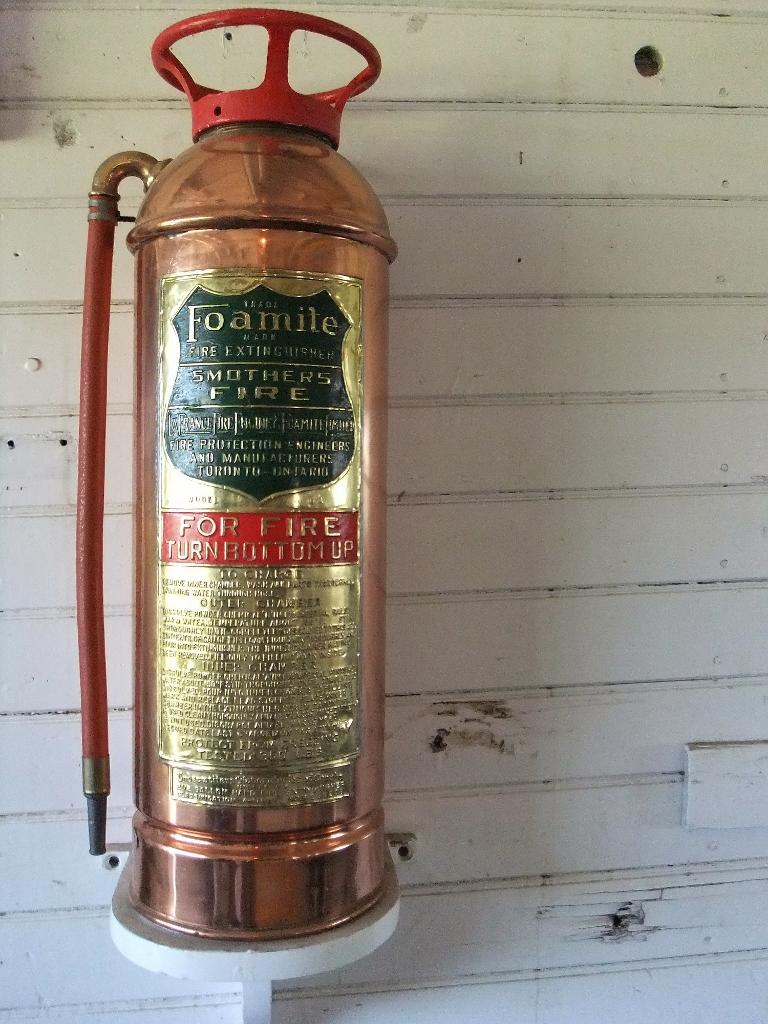 10) the ship is full of beautifully old fire extinguishers
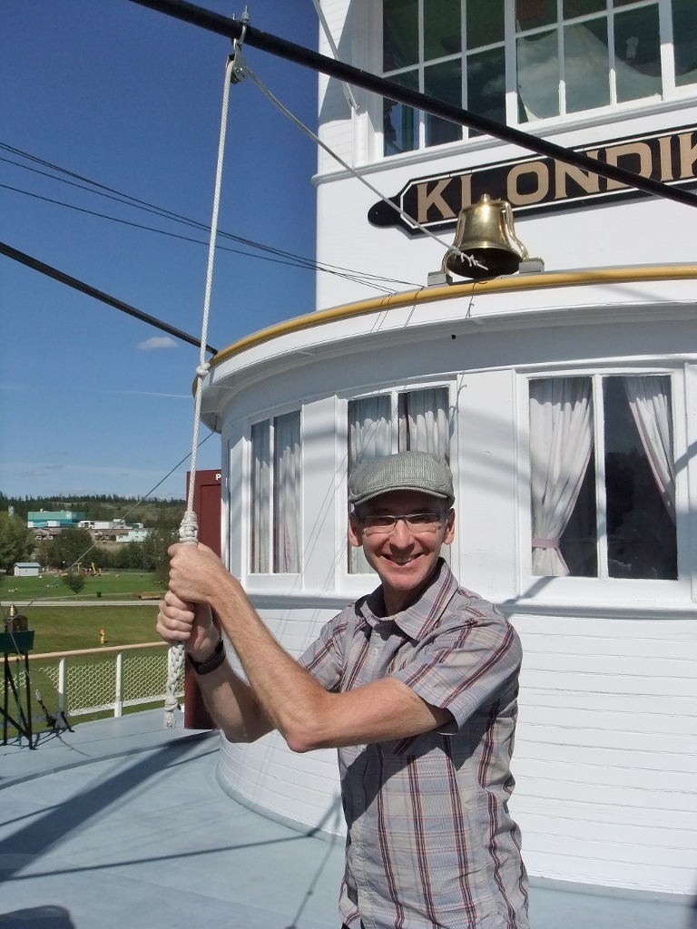 11) gotta ring that bell eh
 12) papa and I aboard the ship
 13) we ate here on our first night
 14) full of charm indeed but the food … so-so
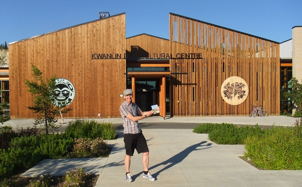 15) I visit the Kwanlin Dun Cultural Centre
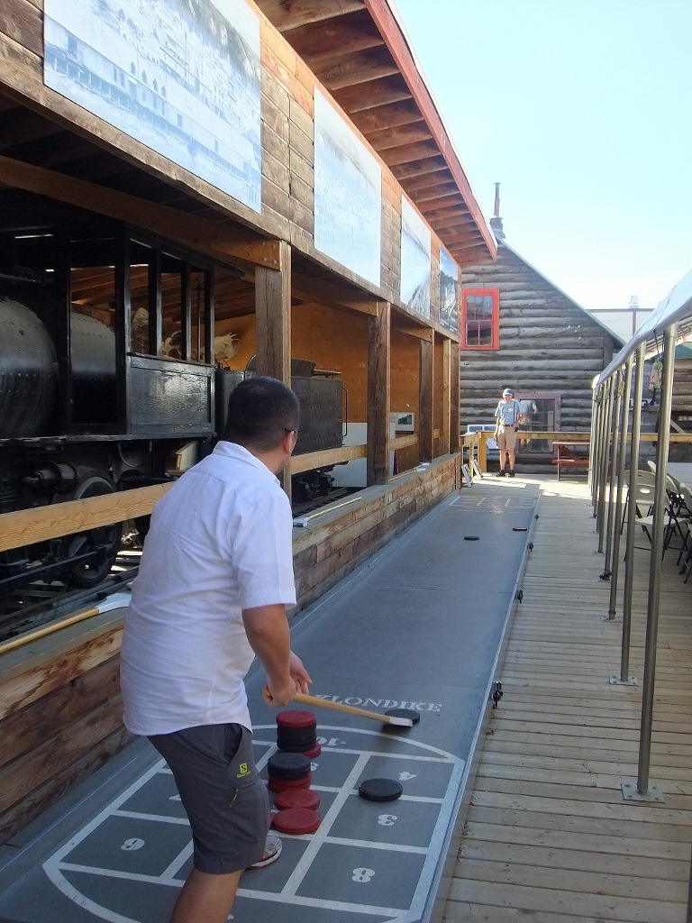 16) G plays shuffleboard (from the SS Klondike) now housed in the McBride Museum of Yukon History
 17) welcome!
 18) here’s the trusty SUV that’s taking us north
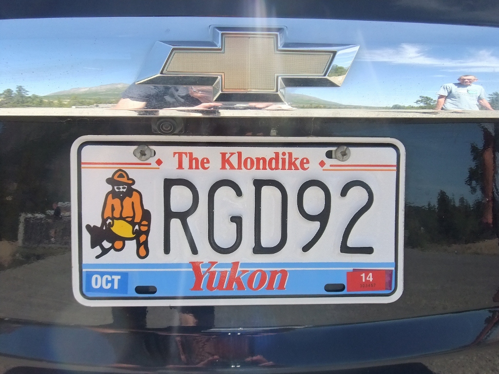 19) gotta love the plate
We took one day to drive south (‘up’ river) to Emerald Lake, the Carcross Desert and the village of Carcross, population 450, which as the village closest to the US border near the crossing on the Klondike Highway that heads to Skagway is slowly being transformed into a Skagway-lite, and sadly so. Carcross’ most celebrated citizen was of course Skookum Jim Mason, a member of the Dakl’aweidi clan of Tagish, who along with George Carmack, co-discovered the gold find at Bonanza Creek that set off the Klondike Gold Rush of 1898. Skookum had the great foresight to place this fortune into a trust which, upon his death in 1916, has been used to help the Yukon First Nations peoples.
The Carcross Desert is quite the place to stumble across. Classed as the world’s smallest desert, it is in fact the remains of an ancient lake. 10,000 years ago during the last ice age, ice dams in this area created a series of glacial lakes. These lakes were as deep as 300 meters. Layers of sand and silt, trapped in the glaciers moving across the area, settled to the bottom of these lakes and when the glacial lake at Carcross – called Watson Lake – disappeared, voila, the Carcross Dunes (perhaps a more apt name than desert) emerged.
 20) and so we head, first, south along the Klondike Highway
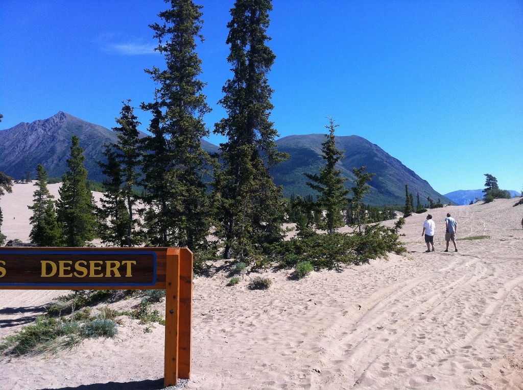 21) to the Carcross Desert
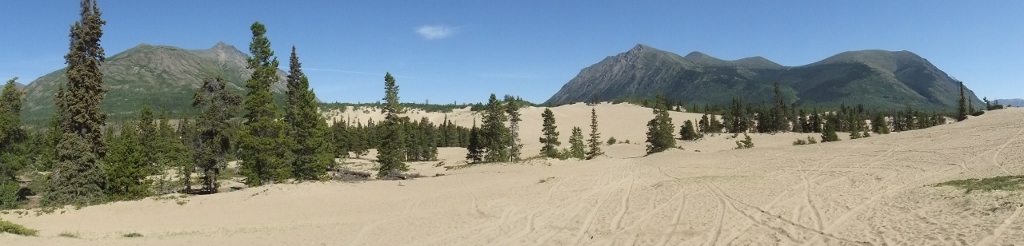 22) so beautifully strange eh (double-click to open in full view)
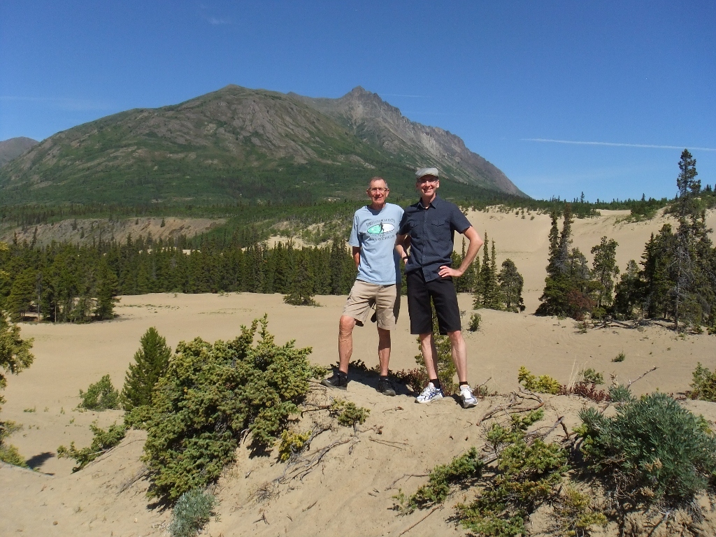 23) papa and moi in the dunes
 24) welcome to Carcross
 25) the famous WP&YR locomotive is here today
 26) retirement home in Carcross?….
 27) ah! here’s the one I want
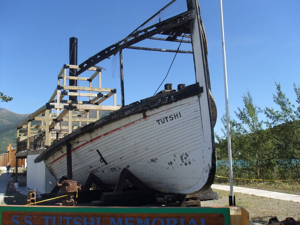 28) the remains of the Tutshi sternwheeler in Carcross
Just outside of Whitehorse is the famous Miles Canyon. This narrow gorge was the only route available to stampeders back at the turn of the century and many supplies – and a handful of lives – were lost trying to negotiate poorly made boats through its rapids. The canyon is worth a visit for a short hike and to cross its suspension bridge. Interestingly, Miles Canyon was a pit stop on this year’s edition of The Amazing Race Canada. Whitehorse owes a lot to this canyon for without it, sternwheelers would have been able to travel up river all the way to Carcross. And that would have likely meant that during the Klondike Gold Rush Carcross – not Whitehorse – would have become the central transportation hub (and capital) of the territory.
 29) Papa goes exploring at Miles Canyon
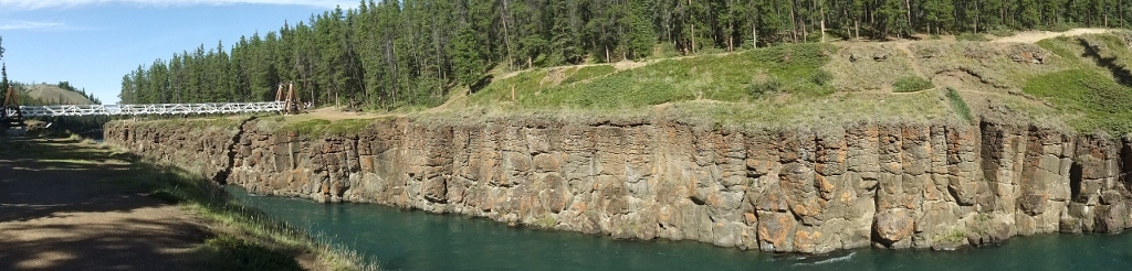 30) here’s the full view (double-click to open)

You must be logged in to post a comment.