
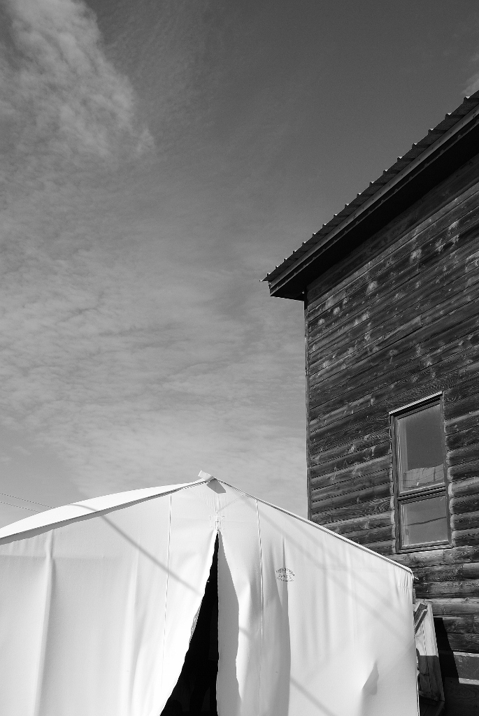
 1) visiting the home, and Fort MacPherson Tent Company tent, of our Tuktoyaktuk guide
While it takes a lot of planning and time to get oneself to the northern edge of Canada – way up on the Beaufort Sea – it’s well worth the effort. Tuktoyaktuk was exactly what I imagined it would be and yet totally, unexpectedly different as well. The physicality of the town mirrored my mind’s eye: flat as flat can be, windswept and hunkered down on the edge of a limitless watery vista; cruel, cold and exposed. Yet, in other by far more important ways, the town was so different: civilized (which probably reeks of a whiteman bias of aboriginal communities), proudly Inuvialuit yet boldly Canadian complete with a lotto outlet and Canadian Trail marker. And while there was no Tim Hortons and no Canadian Tire I felt at home in Tuk which perhaps speaks to the power of this place we call Canada – our home and native land.
Our trip to Tuk started in Inuvik where we hired a tour company to fly us north. We borded our wee North Wright Airways Cesena and winged our way ever north, in the trusty hands of our Quebec-born pilot, over the endless, endless, endless tundra that comprises the Mackenzie River Delta. You really do not have any idea just how vast that space is until you’ve seen it from the air. It is, in a word, humbling. And humbling to think folks live permanently up there at the, near, top of the world.
On the way up we flew over the hamlet of Reindeer Station, saw our first pingo, ice-cored hills that rise up out of the tundra like warts, and passed over a couple of NORAD’s North Warning System installations (or what we used to call back in the cold war days, the DEW line, for Distant Early Warning).
 2) we saw these gorgeous white huskies at Arctic Chalet
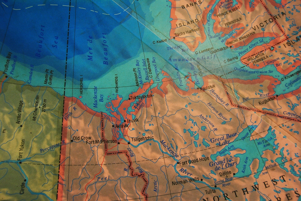 3) here’s where we’re going … this massive map of the north graces the floor inside Inuvik Airport
 4) though there was not a lot of business inside
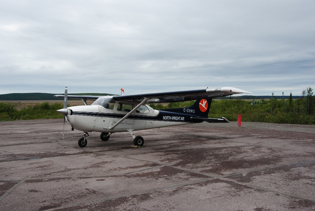 5) the plane! the plane! (anyone get that reference?) … our plane on the tarmack
 6) up we go flying over Inuvik on the way north
 7) down below in Inuvik we can see our hotel! … the blue/green building in the background is the Inuvik Recreation/Community Centre
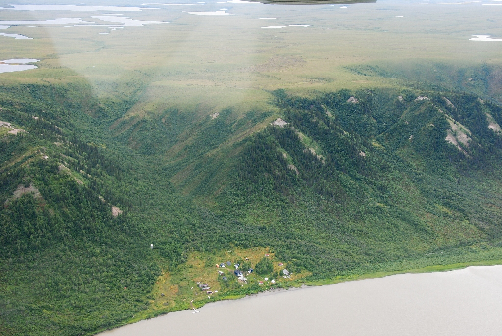 8) there’s Reindeer Station
 9) and one of the North Warning System installations … imagine living here in the dead of winter!
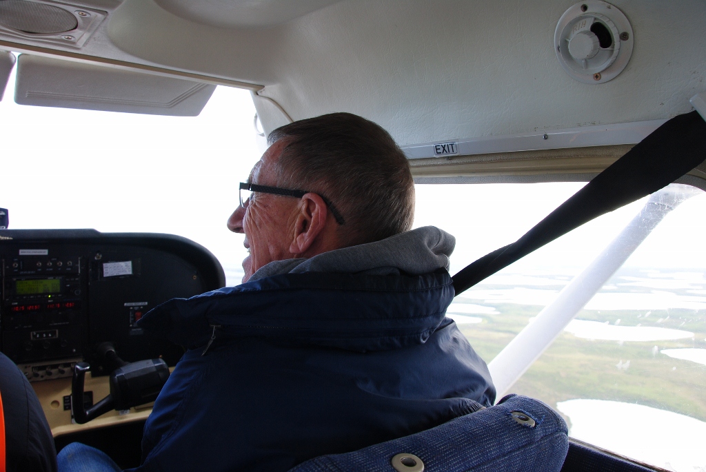 10) Papa enjoys the views
 11) which are just AWESOME!
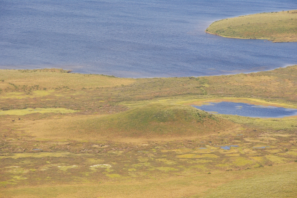
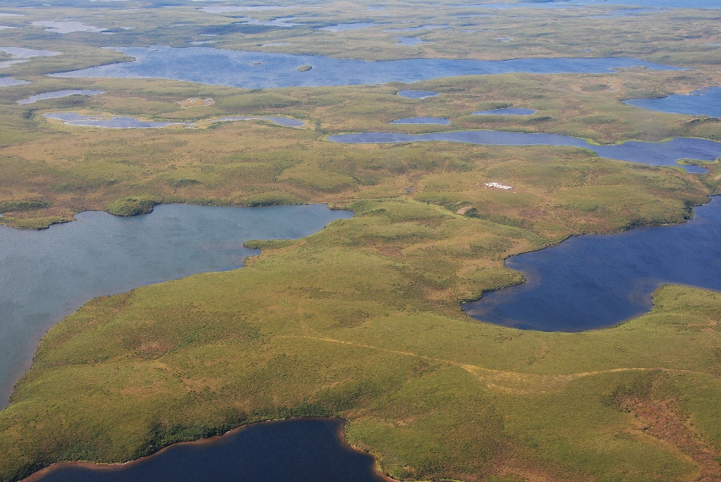
 12) WOW! so endless
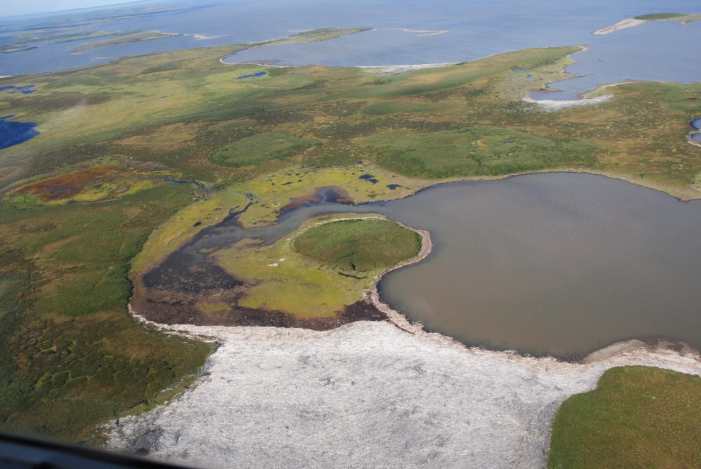
 13) our first pingo!
 14) our second pingo!
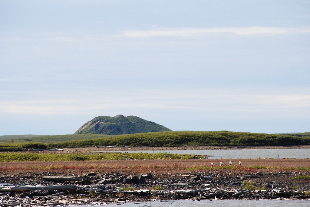
 15) our third, big, pingo! This one is just outside Tuk
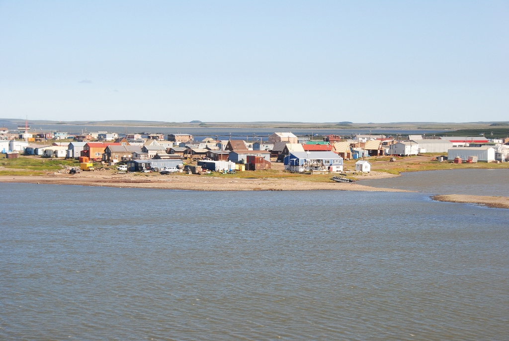
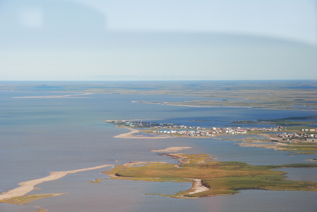 16) there is the town!
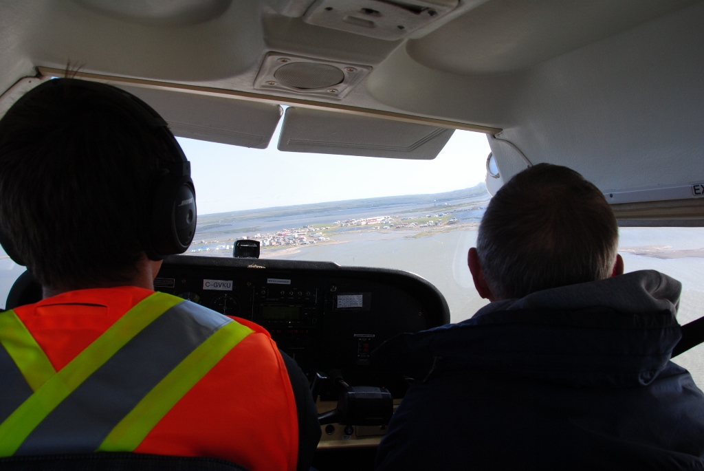 17) heading in to land
 18) isn’t it pretty
 19) we made it! Papa at the airport
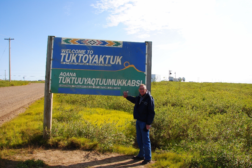 20) Papa gets his welcome to Tuk picture
 21) at the home of our guide we get a lesson on the differing types of furs and how they hunt them
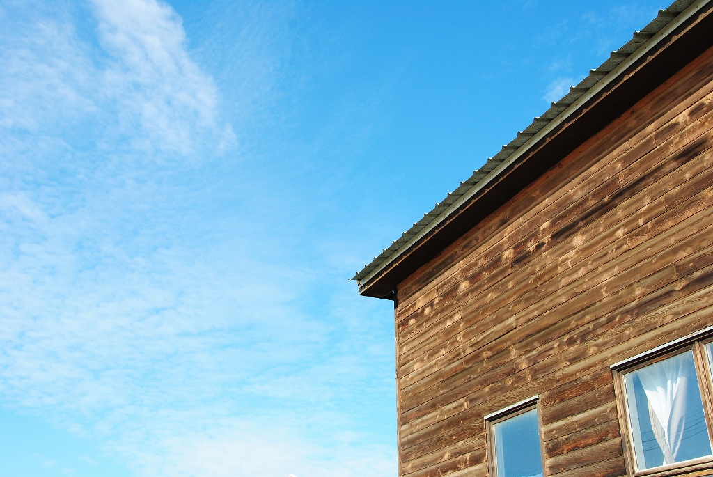 22) here is the top of the house
 23) here’s that pingo again taken from the aiport
 24) on the shore of the Beaufort we go see the smoke house
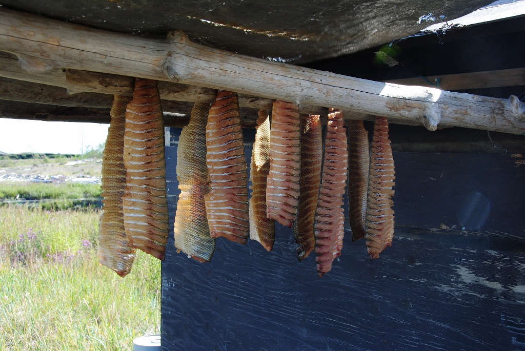 25) arctic char getting smoked; I love arctic char
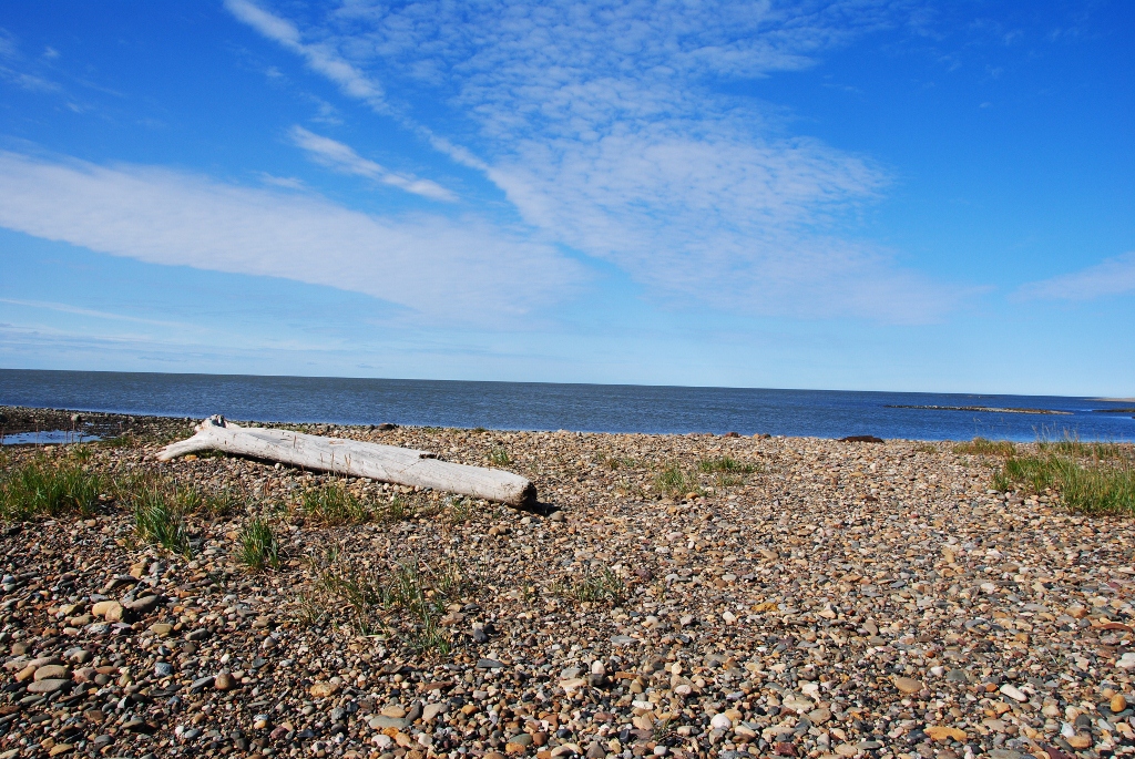 26) ta-da! the Beaufort Sea
 27) G heads in for a dip … he’s now been to all three of Canada’s oceans
 28) Papa’s a toe-dipper
 29) beautiful isn’t it with the wildflowers
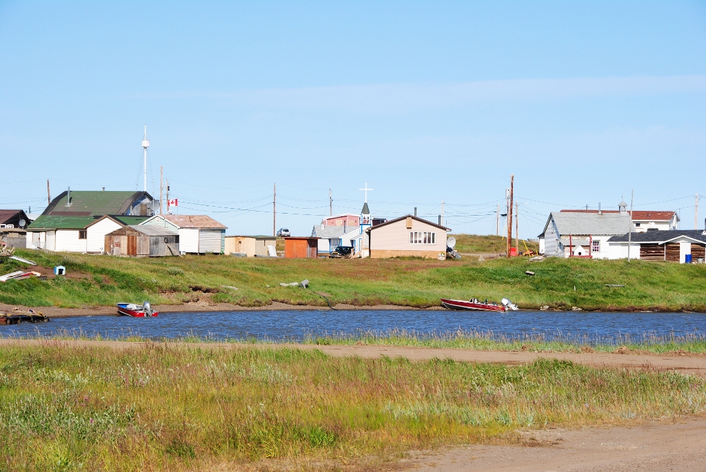
 30) downtown Tuk
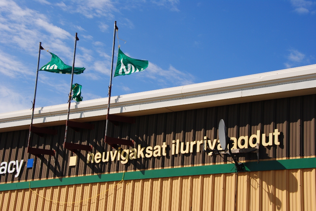 31) the Northern store which serves as the depot for everything – groceries, clothes, lottery outlet, housewares – prices were high yes but not as outrageous as I was expecting
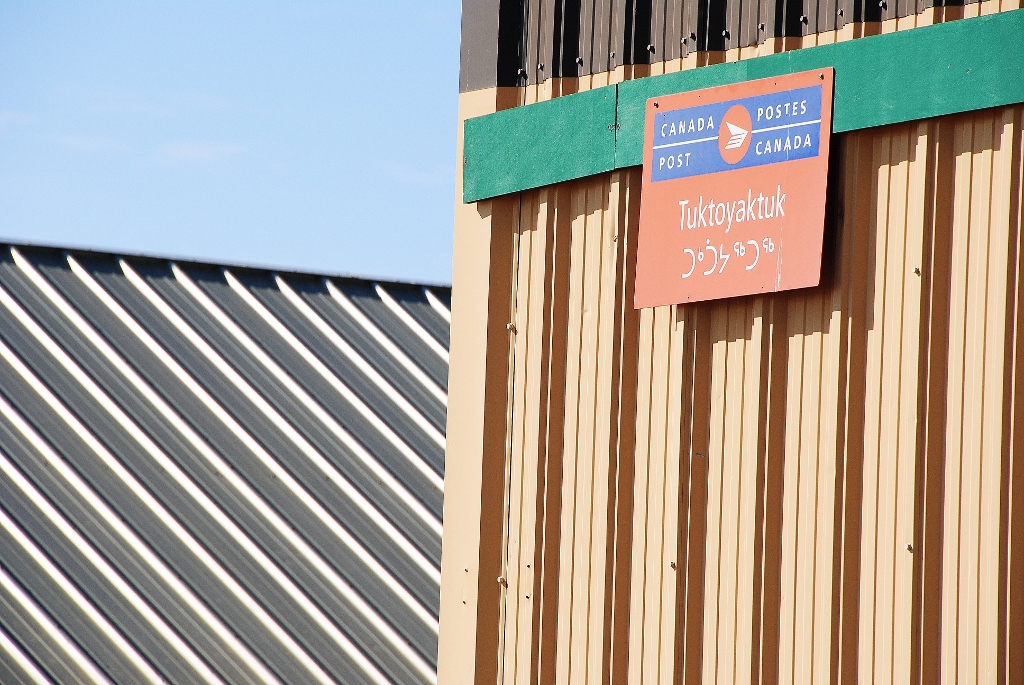 32) … and a Canada Post
 33) so scenic
 34) that ship you see brought up the first missionaries to the town
 35) we visit the Ice House which served as the fridge for the community
 36) me down inside the permafrost … it was very, very cold and solid ice where the locales carved out alcoves for each family to store their supplies of food
 37) the ice crystals inside the Ice House were so neat
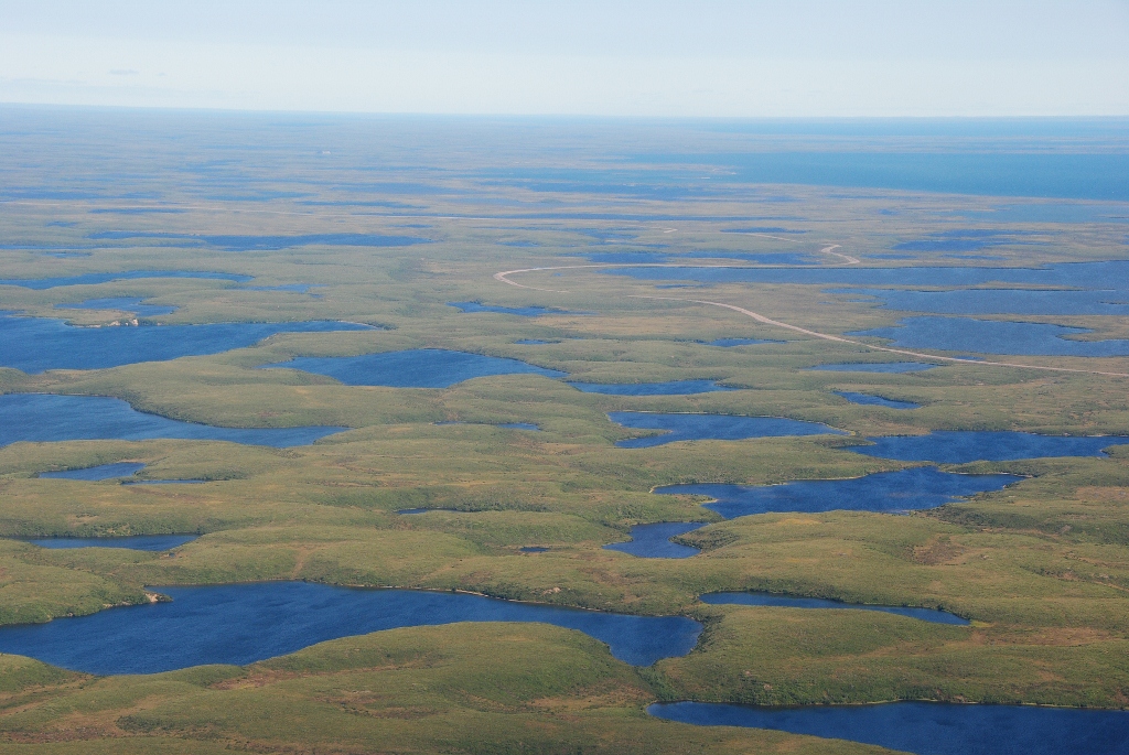
 38) here you can see the year-round road being constructed by the federal government … in two years time Tuk will be connected to Inuvik year-round
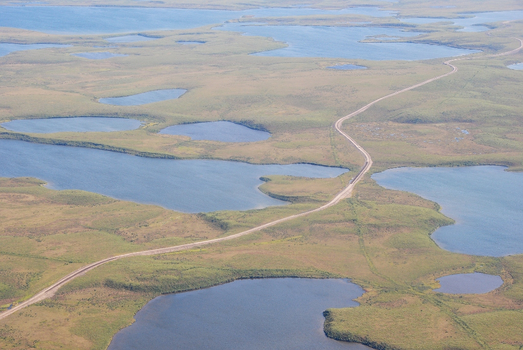 39) they have so far managed to build 16 kms south from Tuk and about half that northward out of Inuvik
 40) like the Dempster Highway this road is also constructed on a burm atop the permafrost
 41) there is one of the construction crews ‘homes’ during the season
 42) this Cesena followed us back south to Inuvik
 43) so blessed to have experienced this with Papa!
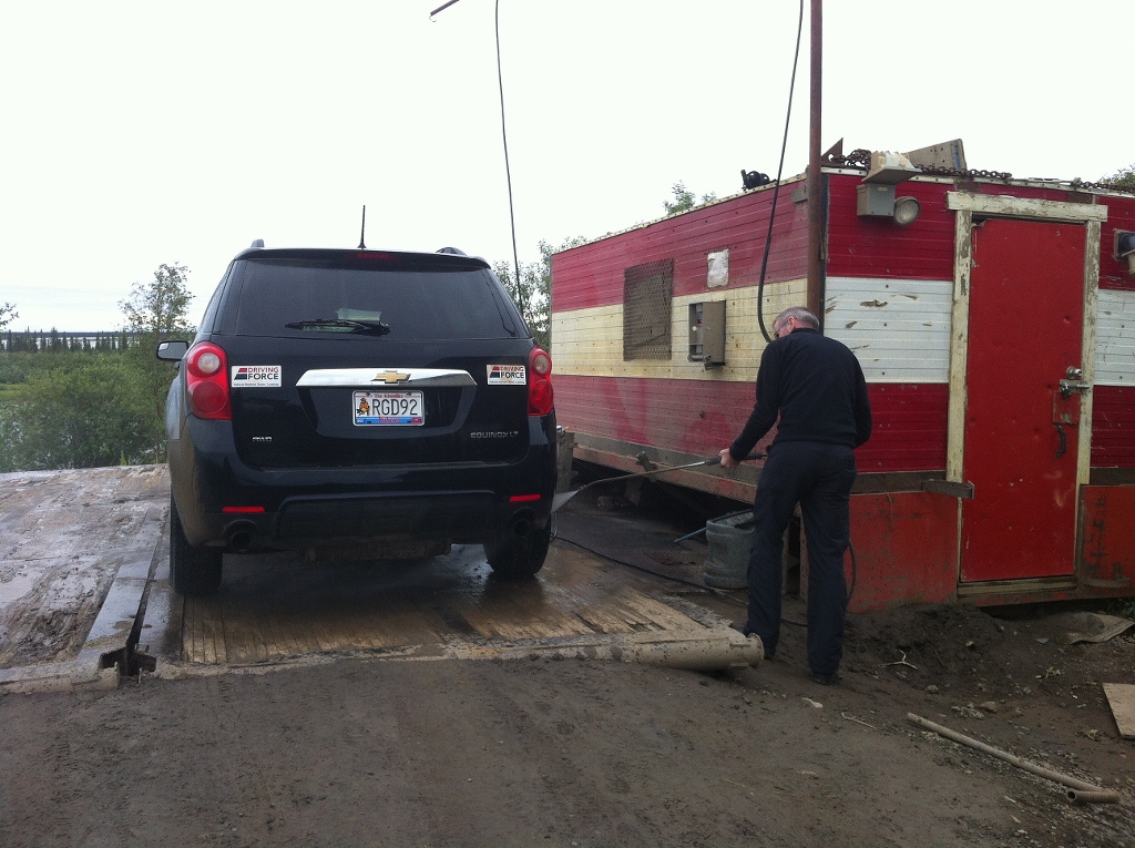 44) back in Inuvik the next morning, I take the car to the local car wash! to clean it off for the trip back south to Dawson City

You must be logged in to post a comment.